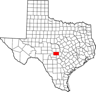
Gillespie County Geologic Cross Sections
What is a Geologic Cross-Section?
Constructing geologic cross sections is one technique commonly used for visually depicting a hydrogeologic system. A geologic cross section is a two-dimensional, vertical view of the subsurface. When numerous geologic cross-sections are drawn through an area of interest, they begin to yield a three-dimensional picture of the subsurface.
Geologic cross sections are often used to correlate surface geologic mapping with geologic descriptions obtained from wells. Constructing geologic cross sections allows scientists to visualize those correlations and interpret subsurface features such as boundaries between rock units and geologic faults and folds. Hydrogeologists also use cross sections to understand where water occurs underground and to make inferences about where boundaries to groundwater flow are likely to exist.
(Source: www.waterencyclopedia.com/Hy-La/Hydrogeologic-Mapping.html)


The Cross Sections for Gillespie County were created in-house and could change in the future with additional information received. The cross sections were created based on State of Texas Well Reports, geophysical logs, geologic maps, and other sources available to the District. The map above shows the various locations of the cross sections created. To view individual cross sections, click below.
